
Real Estate Aerial Photography

Elevate your listing with bird’s-eye views that capture the entire property, land size, and neighborhood in one shot. These stunning visuals help sellers grab attention instantly and show buyers exactly how the home fits into the local area.
We deliver professional 20MP high-resolution stills and seamless 5.4K cinematic video tailored to your needs. We ensure every asset is polished and ready for immediate use across all your platforms.
Please aim to book 2–3 days in advance to ensure the best weather and lighting for your shots. If you have an urgent listing though, reach out and we will do our best to fit you in sooner.


Advanced Mapping Services
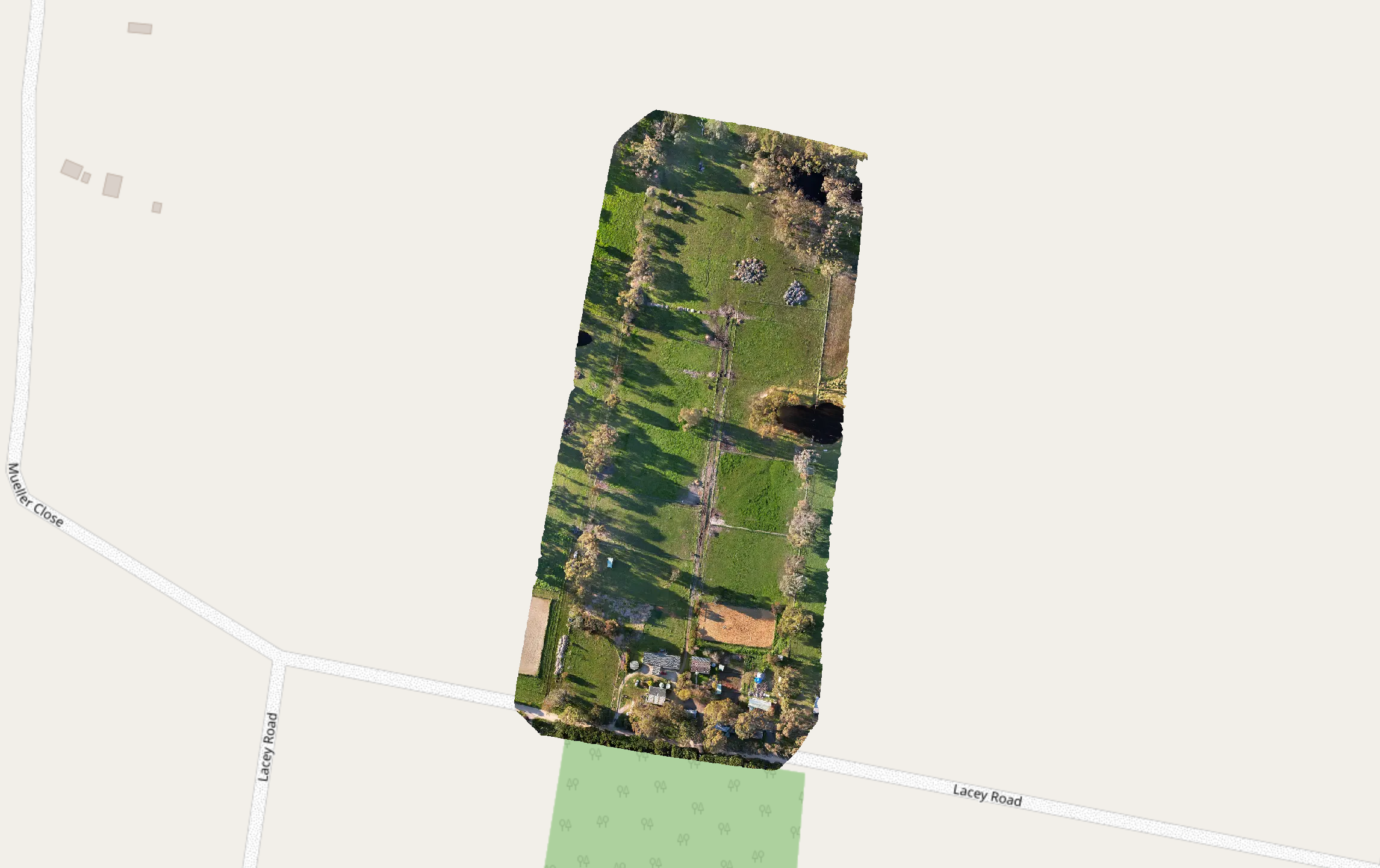
We produce high-resolution 2D and 2.5D orthomosaic maps for construction, planning, and documentation. Our detailed imagery provides a clear, accurate view of your entire site to streamline your project management.
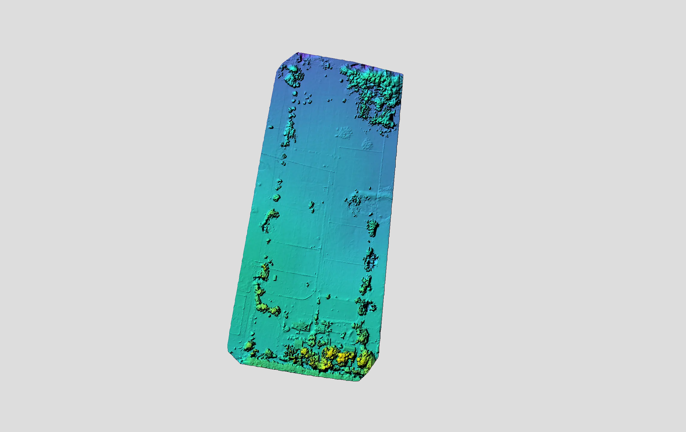
We generate basic 3D terrain models and elevation data to streamline your drainage, access, and design decisions. Our cost-effective visuals help you understand the land and identify potential issues before breaking ground.
We handle everything from initial mapping to final inspections. Our data helps you track site progress clearly while identifying potential issues before they become costly.
Inspection Processes
Planning
We map out safe flight routes to ensure we capture the best views of your site.
Flight
We fly at expert angles to spot roof damage and site issues quickly from above.
Data Capture
We take clear, detailed photos to spot damage or wear on any structure.
Reporting
We deliver clear reports with precise data to help you plan maintenance.